Skip to content
- Cotuit, MA
- Popponesset, MA
- Hyannis Harbor, MA
- Barnstable Harbor, MA
- South Yarmouth, MA
- Bass River, MA
- Cape Cod Canal, East (Sandwich), MA
- Falmouth Harbor, MA
- Red Brook, MA
- Megansett Harbor, North Falmouth, MA
41.6258’ N, 70.3953’ W
50°
H 51°
L 38°
SSE
11mph
Low tide
6:42 pm
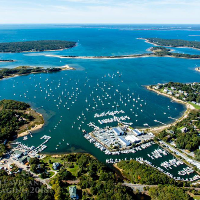
Exploring Maps and Charts of Osterville, MA